
The Deep Map: Tectonic Plates and the Geology of Power
The map that strategists study was drawn by forces that do not read strategy papers. From Venezuela's earthquake to Etna's eruption — why geology is the first cause of geopolitics.

PYRSEOS — Analysis | June 2026
On June 24, 2026, Venezuela was struck by one of the most destructive seismic events in its modern history: a rare doublet earthquake sequence — a Mw 7.2 foreshock followed 39 seconds later by a Mw 7.5 mainshock. At least 1,430 people were killed. Buildings collapsed across northern Venezuela. Landslides followed. The strongest earthquake to hit the country in over 125 years struck a nation already weakened by decades of economic collapse, political turmoil, and infrastructural neglect.
Six months earlier, on January 1, 2026, Mount Etna entered a new eruptive phase, with lava emerging from a fissure vent in the Valle del Bove. The most active volcano in Europe resumed activity at the intersection of the African and Eurasian plates — the same tectonic collision that produced the Mediterranean basin, the Alps, and the Apennines, and that will one day close the Mediterranean Sea entirely.
Two events. Two different regions. One underlying cause: the movement of tectonic plates. And behind that cause, a set of geopolitical consequences that the classical theorists — Mackinder, Spykman, Mahan — did not systematize, but that their framework implicitly requires.
Geopolitics begins with geography. Geography begins with geology. The map that strategists read is produced by forces that operate on timescales of millions of years — and that, on timescales of seconds, can destroy a capital city, sever a submarine cable, or collapse an oil platform.
The Tectonic Foundation of the World Map
The Earth’s surface is divided into approximately fifteen major tectonic plates and a series of smaller microplates, all in constant motion driven by convection currents in the mantle below. Their movement is slow — measured in millimeters or centimeters per year — but its cumulative consequences are total. Every mountain range, every ocean basin, every island chain, every strait and every delta on the map is a product of this movement.
The collision, separation, and subduction of plates has produced three categories of geological feature that are directly relevant to geopolitics.
Mountain ranges — barriers that have channeled human migration, defined state frontiers, and protected civilizations from invasion. The Himalayas, produced by the collision of the Indian and Eurasian plates, separate South Asia from Central Asia and create the monsoon system that irrigates one of the world’s most densely populated regions. The Andes, product of the subduction of the Nazca Plate beneath South America, contain the world’s largest lithium reserves in the salt flats of the altiplano. The Zagros, produced by the Arabia-Eurasia collision, form the natural fortress of the Iranian plateau. Mackinder saw the Himalayas as the southern wall of the Heartland. He was describing the product of a continental collision that began 50 million years ago.
Resource concentrations — the deposits of oil, gas, coal, metals, and minerals that power industrial civilization are products of specific geological processes occurring at specific plate boundaries. The Persian Gulf’s hydrocarbons formed in the Tethys Sea, a shallow tropical ocean that covered the region 100 to 200 million years ago before the Arabian Plate collided with Eurasia and closed it. The copper and lithium of the Andes formed through the volcanic activity associated with the subduction of the Nazca Plate. The cobalt of the Democratic Republic of Congo formed in an ancient rift system. The oil of the North Sea formed in a shallow epicontinental sea. Every major resource that has structured the geopolitics of the past century is a geological accident — the product of plate movements that had nothing to do with human civilization and everything to do with the civilization that followed.
Seismic and volcanic zones — the boundaries between plates are zones of concentrated energy release, expressed as earthquakes and volcanoes. These zones are among the most densely populated on earth, because volcanic soils are fertile and coastal plains at plate boundaries are geographically attractive. The consequence is a permanent coincidence between geological hazard and human settlement — and therefore between geological events and geopolitical consequences.
Venezuela: Geology as Political Accelerant
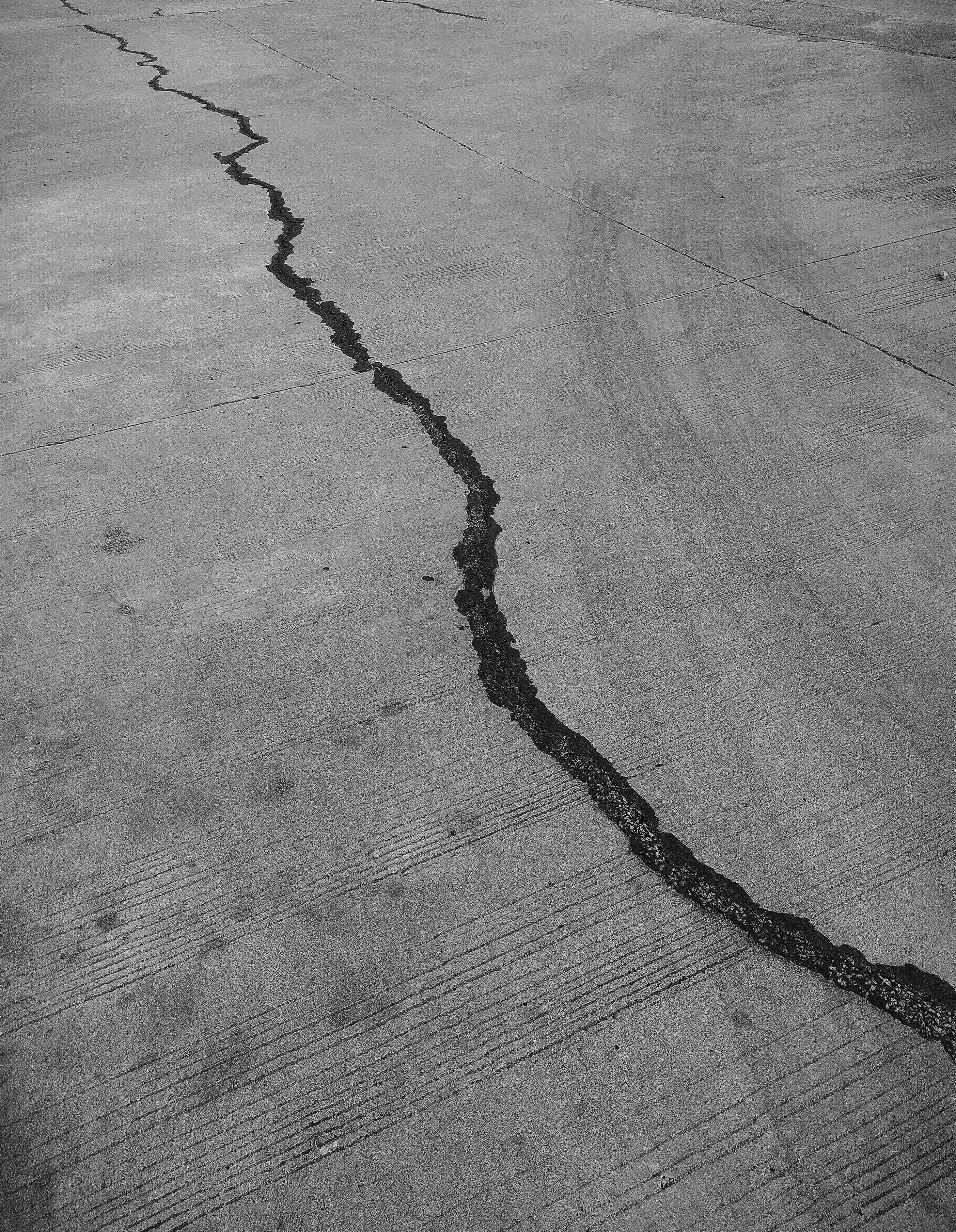
Venezuela’s seismic vulnerability is rooted in its position at one of the most tectonically complex boundaries in the Western Hemisphere. In northern Venezuela, the Caribbean Plate moves eastward and partially collides with the South American Plate, forming an oblique collision zone. The principal active structure is the Boconó–San Sebastián–El Pilar fault system — a compressional and right-lateral strike-slip system extending for more than 1,300 km from the Venezuelan Andes to Trinidad, accommodating much of the movement between the Caribbean and South American plates at about 10 mm per year. The June 24 doublet occurred within this plate-boundary zone near the San Sebastián fault system.
The geological event struck a political context already at its breaking point. Venezuela under the post-Maduro transitional government — following Washington’s January 2026 military intervention — is a state attempting to rebuild governance, restore oil production, and manage a humanitarian crisis, all simultaneously. The earthquake has compounded each of these challenges.
The infrastructure damage is severe. La Guaira — the port that handles the majority of Venezuela’s imports — sustained structural damage. The road connecting Caracas to the coast, Venezuela’s economic lifeline, was disrupted by landslides. The oil infrastructure of the Lake Maracaibo basin, already degraded by years of underinvestment, now faces additional seismic stress. The USGS has warned that the region faces a 43% chance of a magnitude 6 or greater aftershock within the week — and that landslide risk will persist through the next rainy season.
The earthquake has not created Venezuela’s political crisis. But it has deepened it structurally. A state with degraded institutions, limited fiscal resources, and a population exhausted by two decades of economic collapse is now managing a natural disaster of historic proportions. The geopolitical consequences radiate outward: humanitarian pressure on Colombia and Trinidad, further disruption to the oil production that Washington had hoped to resume after Maduro’s removal, and a window of opportunity for Chinese and Russian re-engagement under the guise of disaster relief.
The most famous earthquake in Venezuelan history was an estimated 7.7 magnitude event that hit Caracas in 1812 — during the Venezuelan War of Independence, devastating the city and resulting in as many as 30,000 casualties. The Spanish colonial authorities used the disaster to argue that God was punishing the revolution. Simón Bolívar, according to legend, responded by pushing rubble aside and declaring: “If Nature opposes us, we shall fight against her and make her obey.” The geological event shaped the political narrative. In 2026, it is doing so again.
The Mediterranean: Where Africa Meets Europe
The Mediterranean is the surface expression of one of the most geodynamically complex regions on earth. The African plate is moving northward at approximately 2 cm per year, converging with the Eurasian plate. This convergence has been ongoing for approximately 40 million years and will eventually close the Mediterranean entirely — in approximately 50 million years, Africa and Europe will be joined, and the sea between them will not exist.
In the meantime, the collision produces an arc of geological hazard that runs from Gibraltar to the Levant. Mount Etna sits at the boundary of the African plate and the Ionian microplate, both being subducted beneath the Eurasian plate. A new study published in April 2026 in the Journal of Geophysical Research revealed that Etna is tapping magma from 80 kilometers deep — far deeper than typical volcanoes — through a mechanism linked to the bending and tearing of the subducting slab. Etna is, in geological terms, a leaking pipe from the upper mantle.
The Mediterranean volcanic arc — Etna, Stromboli, Vesuvius, Campi Flegrei, Santorin — runs directly through the densest concentration of historical civilization in the world. Vesuvius buried Pompeii in 79 AD and today overlooks a metropolitan area of 3 million people in the Naples basin. Campi Flegrei — the Phlegraean Fields west of Naples — is a supervolcanic caldera that has been showing signs of unrest since the 1960s. A major eruption of either system would be a civilizational catastrophe of a kind that no European emergency management system is designed to handle at scale.
The geopolitical consequences of Mediterranean volcanic activity extend beyond immediate casualties. The 1815 eruption of Mount Tambora in Indonesia produced the “Year Without a Summer” in 1816 — crop failures across the Northern Hemisphere, food riots in Europe, and migration waves that reshaped the demography of North America. A major Mediterranean eruption of equivalent scale would disrupt agricultural production across southern Europe, the Maghreb, and the Levant — precisely the regions already under the demographic and migration pressures described in the Mediterranean article.
The Ring of Fire: Where Geopolitical Pivots Are Also Geological Ones
The most striking correlation between tectonic geography and geopolitical significance is the Pacific Ring of Fire — the arc of subduction zones that runs from Chile through California, Alaska, the Aleutians, Japan, the Philippines, Indonesia, and New Zealand. This arc concentrates approximately 75% of the world’s volcanoes and produces approximately 90% of the world’s earthquakes.
It also concentrates an extraordinary proportion of the world’s geopolitical pivots. Japan — the archipelago formed by the subduction of the Pacific Plate under the Eurasian Plate — sits directly on the Ring of Fire. The 2011 Tōhoku earthquake and tsunami killed nearly 20,000 people, triggered the Fukushima nuclear disaster, and produced a fundamental reassessment of Japanese nuclear energy policy that reverberated globally. Indonesia — the world’s largest archipelago, controlling the Strait of Malacca and the Lombok Strait — is entirely volcanic in origin and remains one of the most seismically active countries on earth. The 2004 Indian Ocean earthquake and tsunami killed over 230,000 people across fourteen countries and disrupted the regional balance of humanitarian power for years.
Chile produces more than a quarter of the world’s copper — the metal essential to electrical infrastructure. Its deposits are products of the subduction of the Nazca Plate beneath South America, and its territory is among the most seismically active in the world. The 1960 Valdivia earthquake — magnitude 9.5, the largest ever recorded — destroyed significant portions of the country’s infrastructure and triggered tsunamis that killed people in Hawaii, Japan, and the Philippines.
The Cascadia Subduction Zone off the coast of the Pacific Northwest — where the Juan de Fuca Plate subducts beneath North America — has produced magnitude 9+ earthquakes approximately every 300-500 years. The most recent was in 1700. Geological evidence suggests the zone is overdue. A full rupture would devastate Seattle, Portland, and the coastal infrastructure of the Pacific Northwest — including the ports through which a significant fraction of American-Asian trade passes.
Submarine Cables and Geological Hazard
The article on submarine cables in this series described the strategic vulnerability of the 600 fiber-optic cables that carry 99% of intercontinental internet traffic. What that article did not address is the geological dimension of that vulnerability.
Submarine cables are routed along ocean floors that are themselves products of tectonic activity. Abyssal plains — the deep, flat regions of the ocean floor — are the safest routes for cables. But the shortest routes between continents often pass through geologically active zones: submarine canyons, volcanic ridges, and the approaches to plate boundaries where the ocean floor is fractured and unstable.
The 2006 Hengchun earthquake off the coast of Taiwan — magnitude 7.0 — severed nine submarine cables simultaneously, disrupting internet connectivity across Southeast Asia for weeks. The damaged cables were routed through the Luzon Strait, one of the most seismically active zones in the western Pacific. The 2011 Tōhoku earthquake damaged multiple cables in the Japanese sector. The 1929 Grand Banks earthquake off Newfoundland — magnitude 7.2 — triggered a turbidity current that snapped twelve submarine cables in sequence, at different times, as the underwater landslide propagated downslope.
As the world’s dependence on submarine cables has grown — and as their geopolitical significance has been recognized — the geological risk dimension has remained largely invisible in strategic planning. The next major cable-severing geological event is not a question of whether, but when.
Resources, Plates, and the Subterranean Heartland
Mackinder’s Heartland was defined by its inaccessibility and its resource wealth — the vast continental interior of Eurasia, rich in everything civilization requires. But the resources that have come to matter most in the 21st century — lithium, cobalt, rare earths, copper — are not distributed according to political logic. They are distributed according to geological logic.
The lithium triangle of Chile, Argentina, and Bolivia sits in the Atacama Desert, at altitude, in politically complex states, because the Andes were thrust upward by the subduction of the Nazca Plate and the resulting volcanic activity produced the salt flats where lithium concentrates. The cobalt of the Democratic Republic of Congo exists because of an ancient rift system that concentrated minerals over hundreds of millions of years. The rare earths of China’s Inner Mongolia formed in granitic intrusions associated with ancient plate collisions.
These geological accidents have become geopolitical facts. The states that happen to sit above these deposits possess resources of extraordinary strategic value — not by design, but by geological fortune. And the competition to control these resources — described in the earlier articles on critical minerals, Africa, and economic warfare — is ultimately a competition over the products of forces that operated long before any state existed.
The Deep Map
Mackinder described the Heartland as the geographical pivot of history. Spykman corrected him toward the Rimland. Mahan directed attention to the seas and the straits. All three were reading the same map — the map of the Earth’s surface as it currently exists, shaped by millennia of human settlement, conquest, and commerce.
But beneath that map is a deeper map — the map of the tectonic plates, the volcanic arcs, the subduction zones, and the fault systems that produced the surface map in the first place, and that continue to reshape it, violently and without consultation.
The Venezuelan earthquake of June 24, 2026, killed over 1,400 people and compounded a political crisis. The Etna eruption that began on January 1, 2026, reminded a densely populated European coastline of its geological fragility. These are not anomalies. They are the visible surface of a permanent geological reality that no geopolitical theory has fully incorporated.
Geography is destiny, as Napoleon observed. But geography itself has a cause. That cause is geology — and it operates on timescales that dwarf any empire, any doctrine, and any strategy.
The map that strategists study was drawn by forces that do not read strategy papers.
Primary Sources
USGS (United States Geological Survey) — authoritative scientific data on seismic events, reliable
CSIS (Center for Strategic and International Studies) — analysis of Venezuela earthquake geopolitical consequences
EOS (American Geophysical Union) — peer-reviewed Earth science journalism, rigorous
The Conversation — academic analysis for general audience, peer-reviewed contributors
INGV (Italian National Institute of Geophysics and Volcanology) — official Italian volcanic monitoring, authoritative
EU Space / Copernicus Programme — satellite monitoring data, official
Global Volcanism Program (Smithsonian Institution) — authoritative volcanic activity database
Journal of Geophysical Research (AGU) — peer-reviewed academic publication, rigorous
Wikipedia / 2026 Venezuela earthquakes — factual aggregator, cross-checked against USGS primary data
© PYRSEOS — pyrseos.org